Potter’s mystery and Queen Anne’s legend

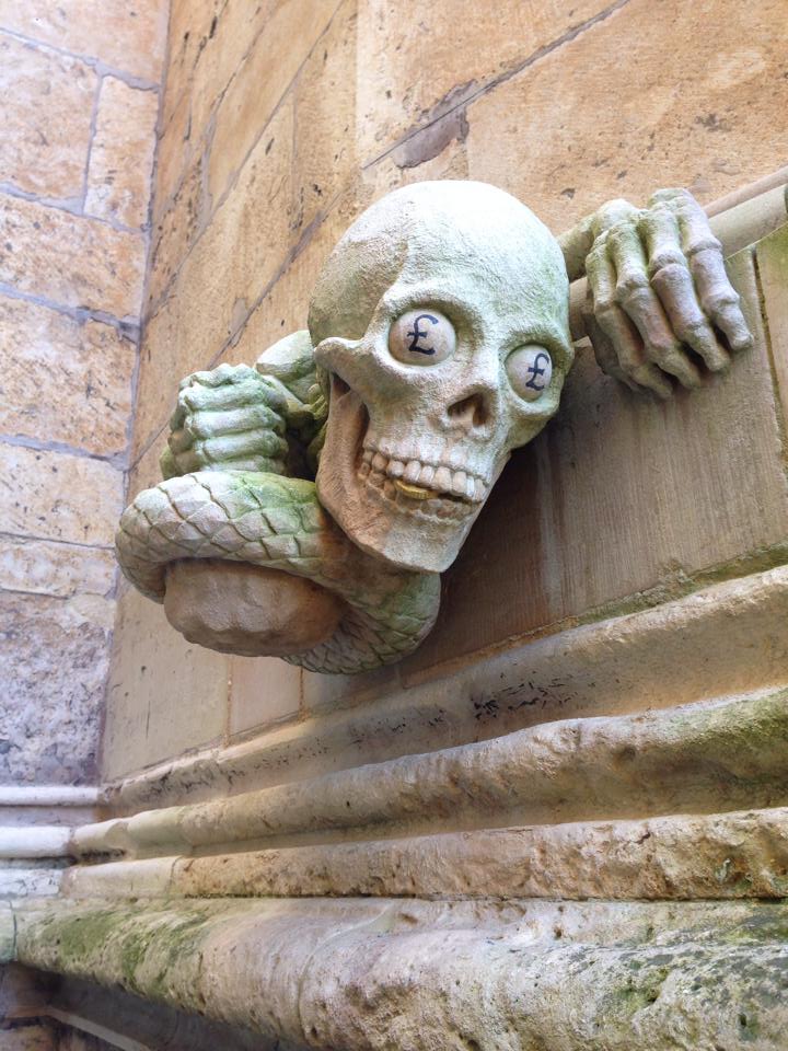
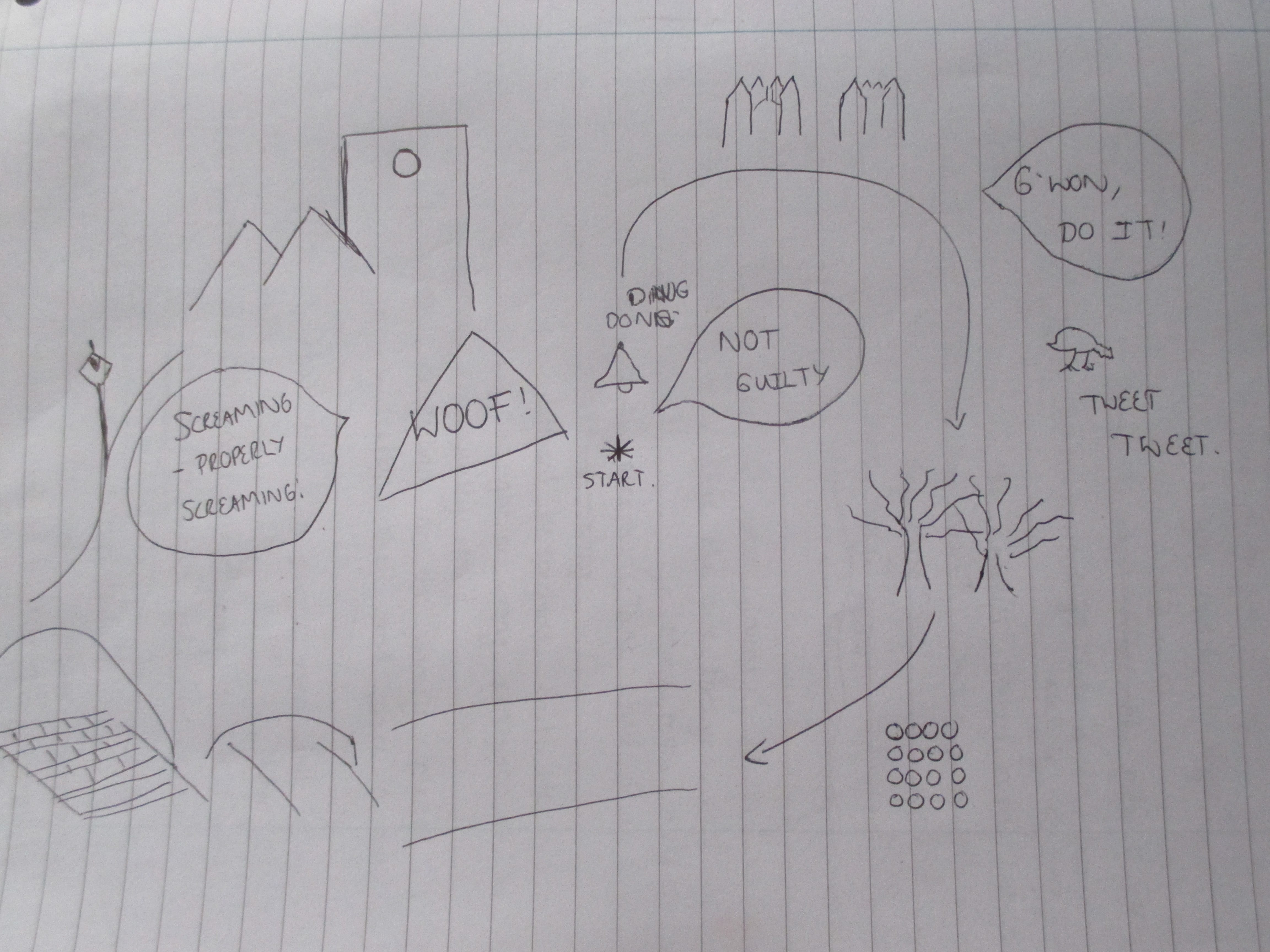
After some discussion, my group and I decided to organise a walk from Pottergate to the garden in Lincoln Cathedral which involved completing some tasks on route. One such task would involve a stop at Queen Anne’s Well (https://flic.kr/p/qQ4o7N), to perform the ritual which, according to legend, entails having to walk round it 7 times and then stick a finger in one of 6 holes in the door; a good person will feel the devil’s breath on their finger whereas a bad person will have their finger bitten off. When I tried this out today, I didn’t have a finger bitten off, so I rank myself as a good person. (Paranormal Database, 2014).
We were all of the opinion that it would spice up our walk if we were to pay homage to the numerous legends and folklore associated with the area between Pottergate and the Cathedral garden and that performing this physical ritual would add more interest to it. This was only one of many ideas we had but it led us to look more closely into the history of Pottergate only to find there is very little published about it. I delved into Nickolas Pevsner and John Harris’ book The Buildings of England; Lincolnshire, to discover that Potter’s gate stretched from the south east to the north east corners of uphill Lincoln near the cathedral and that the “stairway in the SW corner, now represented by the polygonal torrent,… allowed communications between the upper chamber and the gate hall” (Nicholas Antram, 1995, 484). This photo (https://flic.kr/p/r9UG9e) shows the tunnel which was used by those inside the city walls to shout down to those waiting at the gate.

Our discussions then led us to the idea that of course it was all about communication as it was one of the entrances into the city and people would have been obliged to state their business before being allowed in. On closer inspection, there has clearly been some vandalism over the years inside the arch of Potter’s gate such as this (https://flic.kr/p/r9LZrL) which was marked 1895. There are markings dating from 1895 to 2010 which just goes to show how our desire to make our ‘mark’ in history continues to fascinate us and that ‘old habits die hard’. Beth and I collected the markings so we can read and show how diverse they are (https://flic.kr/p/rrn5up). Doing this prompted us to come up with the idea of starting our walk at Potters gate and inviting people to add their ‘mark’ to it by sticking a post it onto the archway; we linked this to the manhole covers we saw inscribed with “post office” and “telegraph” which are also another form of communication. Rather than sticking notes on to the arch’s walls, our tutor came up with the idea of having a big piece of wood which people could sign before they started their walk; we decided this was a much preferred idea that allowed people to make their ‘mark’ without causing any damage to the building.

Work Cited:

Paranormal Database (2014) Lincoln. [online] UK: Paranormal Database. Available from: http://www.paranormaldatabase.com/hotspots/lincoln.php?pageNum_paradata=0&totalRows_paradata=30 [Accessed 2 March 2015].

Antram, N. (eds) (1995)The Buildings of England. Lincolnshire. London: Penguin.

Small town

Image

Carrying through my theme of miniatures and perspectives, I created a map of a town using the patterns of a stone floor. It already had the characteristics of a place with its shapes and levels, all it needed was someone to see it. I started off by choosing a piece of the floor that I thought had the most potential; this involved traits such as daylight, shadows, litter and shapes and depth of stones!

This was the area I chose for the birds eye view map:

Displaying IMG_0616.JPG
I figured that there was no need to be 100% realistic in what I was doing and this allowed the simplist of things to become important. This notion has become very relevant and useful in site specific performance as it has taught me to look beneath the view.
Stones became buildings, cigarette butts became crash sites from where they had fallen from the sky, scratches on the stone became the aftermath of a tiger escaping from the local zoo, the daylight and shadows became the separation between AM and PM in the town and so forth.
After blowing the picture up and printing it off I was able to draw my imagination…
https://www.flickr.com/photos/130878920@N06/16647407236/
I also made a key to accompany my map, so it makes sense to everyone else too!
https://www.flickr.com/photos/130878920@N06/16050990094/


Initial ideas and sparks of inspiration

Our fourth time venturing up Steep Hill to our given site, and it was pouring it down with rain. After having brilliant blue sky and sunshine weather for the past few weeks (albeit still being very cold), it is of no surprise that it made us view the site in quite a miserable way. Despite the awful weather, we continued to explore our site and the possibilities of performance. In this session we had formed our groups, mine consisting of: Charlie, Jess, Megan and myself. We had originally tried to write messages and leave them in certain places around the cathedral and keep an eye out for passers-by to see if they would notice and comment about them. However, with the weather clearly not being in our favour and getting harder, we decided this probably wouldn’t work and took our inspiration indoors. It was in this session that we discovered how hard it is to begin creating something for Site Specific Performance – it is so open to ideas, that we could practically begin from anywhere. Struggling to spark initial ideas of where to go and what to do, we decided to think back to previous tasks we had done whilst exploring Uphill Lincoln. We thought back to last weeks session of misguided tours and our individual interests when creating our maps and decided to take a walk round the inside of the cathedral and subtly listen in to various people’s conversations. We headed to an unusual part of the Cathedral that none of us had been in, ‘Chapter House’ which happens to be where parts of the Da Vinchi Code was filmed. Having seen bits of it in the film, it was incredible to see the architecture and its brilliance in real life. We sat round on the seating area surrounding the round room and were commenting upon the organ that was placed in the room and how incredible the acoustics of the room must sound. At this moment when we were discussing this, we noticed a family come through the door: A mum, dad and two little boys. The first boy ran into the space shouting and running to the back wall and it immediately changed the atmosphere of the place we had quietly been admiring. He then sat down at the far side of the room gazing up at the ceiling. The mum, dad and the other little boy sat down on the right hand side of us, explaining to the little boy some history he knew of this room and how people in generations gone by would ‘have discussions’ in the room. We continued to observe the first little boy and began to think how different a child would look at the Cathedral, in comparison to someone of our age. I knew at their age I found places like the Cathedral extremely boring and quite scary places. What did that little boy think?

After spending around 5-10 minutes in Chapter House, we decided to go to the Cathedral Cafe and listen in to more conversations. Whilst we were there, we found it quite hard to listen in without seeming overtly obvious. Instead, we began to write down any ideas or places that seemed to spark any of our interests during the day. Here are some of the things we listed to look at or research further:

  • Looking at the space with a child-like mindset – interview children about some of the pictures (below) we have taken surrounding the Cathedral?
site 9

Photo Credit: Charlie Roberts, February 2015.

site 7

Photo Credit: Charlie Roberts, February 2015.

site 11

Photo Credit: Charlie Roberts, February 2015.

  • The Archways around the Cathedral – Stepping back in time, like a time capsule: the old and the new.

IMG_0996

  • The Hut, or ‘pixie’ hut as we referred to it outside the Cathedral – what myths does it have. Could we combine fact and fiction into our piece?

IMG_0997

  • Alfred Lord Tennyson statue – research some of his poems and reflect them back into the space in some way.

IMG_0995

  • The picture of the man’s head coming out of the wall. What is his story?

IMG_0994

  • Layers of perception – photo within a photo idea from our previous session.

Our job now is to do further research into these ideas and see which one sparks the most interest.


Week 2: Site, representation and perspectives

When originally exploring the site, I took many photos of documentation to reflect what intrigued or inspired me about the uphill surroundings. Having lived in Lincoln for over a year, it would be more than likely that I would carelessly walk through the site without really taking in every aspect of its culture and history. As described by Phil Smith in the chapter: The Handbook of Drifting, he encourages that individuals who partake in Guy Debord’s ‘derive’ (also known as a drift) must look for a theme: textures, the old, the new; looking for meaning in everything. This type of walk described as ‘drifting’ aims to detach us from our comfort zone and take chances on where a walk may take us. One of Smith’s instructions is to ‘get rid of rational-way finding’ to collectively allow ‘what has happened so far to determine your next choice.’ (Smith, 2010, 119). It is almost like being an excited child and letting your instincts guide you, rather than guiding ourselves by what we merely think we would like to see. Thus, Debord developed a concept known as ‘pyschogeography’ – intertwining our conscious everyday critical thinking as a ‘playful encounter with [a site]’ (Govan et al, 2007, 141).

Continuing from the idea of playfulness, we were set a task to go on a walk and create a map of some sort to record our encounters of the space. Me and Megan decided that we would focus on that of the senses – drawing buildings that we found distinctive, textures that grabbed us and conversations we could hear around us. Here is my mix-matched map of our walk around uphill Lincoln:

Our mix-matched map!

Our mix-matched map!

As you can see, we noted particularly snippets of conversations we heard as passers by, which we found quite comical. Once we had returned from our short explorations in pairs, we came back to St. Paul’s courtyard in Bailgate to create our own misguides and tours of our own. Arlene Sanderson talks about ‘Wrights and Sites’ for those interested in the performed activity of walking. A manifesto was created which depicted how they wanted to generate walking that ‘engages with and changes the city, it recruits the arts not as passive expressions, but as the active changes of it.’ (1991, 70). In this sense, we were given the freedom to create misguided tours around the courtyard. Me and Megan decided to act upon the idea of playfulness and decided to view the courtyard as if from a child’s perspective. The benches near the well were the safety zone, whilst the shape formed on the floor further away from the well was the deep dark depths of the underworld. Other groups took us on various tours and some of these intriguing misguides are shown on my flickr photo stream, which you can view through the link at the beginning of my blog post.


Works Cited:

Smith, P. (2010) Mythogeography: A guide to walking sideways. London: Axminster Triarchy Press.

Govan, E., Nicholson, H., and Normington, K. (2007) Making a Performance: Devising Histories and Contemporary Practices. New York: Routledge.

Sanderson, A. (1991) A Manifesto for a New Walking Culture: ‘Dealing with the City’. In: Wrights and sites. United States: Washington Preservation Press.

‘I know it like the back of my hand’

In today’s lesson we were asked to follow some sort of map, or route. I started thinking of a more interesting way to find a route instead of drawing one on paper, of following a certain item. I do not know Lincoln very well and I especially do not know the top of the hill at all, this made me start to think about people who did know the area and got me asking questions like, how do we know where to go? Which direction do we take first? This linked me onto the phrase that people often use in a place they know very well – “I know it like the back of my hand.” This triggered me into thinking about that phrase literally rather than figuratively, because of course no one really looks at the back of their hand if they’re lost right? Well this got me thinking again, about what if I did use my hand to create the map; thus knowing the route ‘like the back of my hand’. https://www.flickr.com/photos/130645709@N04/sets/72157650897301775/

The next step was a starting point for the map on my hand, as I am quite vascular, I started with the most prominent vein and went from there, drawing on my hand, where I went and what I saw. However, following my veins ended rather quickly as a lot of the roads I travelled down were dead ends, resulting in me having to back track and to find a different route which weren’t ones that matched with my veins. This idea had a very interesting outcome as I feel like I was the only one who really understood my drawings and which direction was what, but overall found it to be very productive and I was able to find a route that I was happy with.